
Columbus Landfall National Park Grand Turk
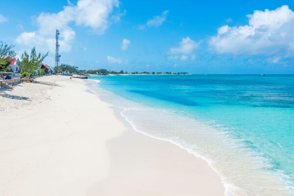
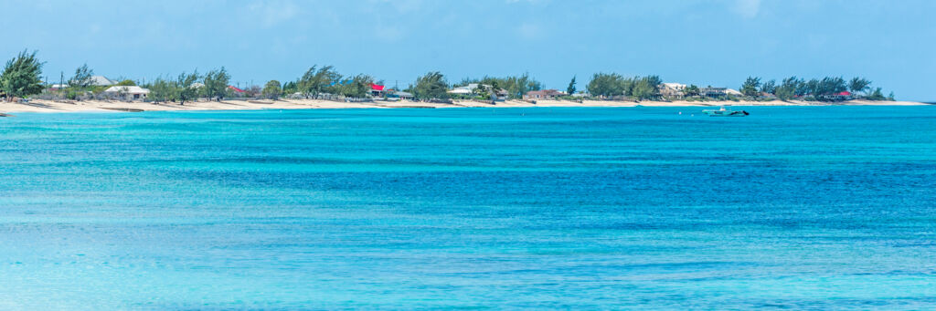
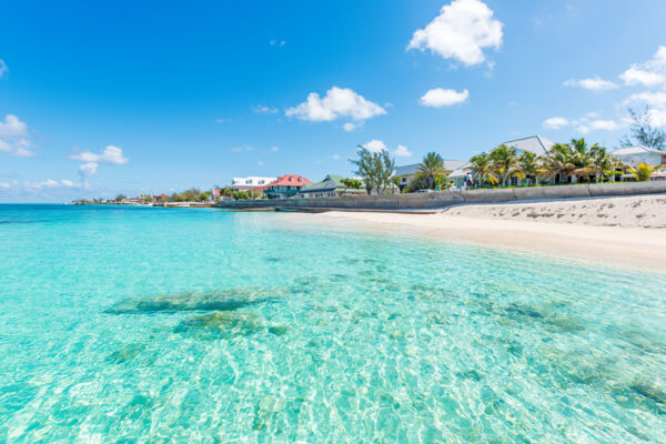
The Columbus Landfall National Park is the largest protected area on Grand Turk, and consists of the entirety of the island’s west coast beaches to the high tide mark, the west coast barrier reef, and the ocean between them.
Included in the national park are many of the best beaches on Grand Turk, including Governor's Beach, Cockburn Town Beach, the Cruise Center Beach, Pillory Beach, and English Point.
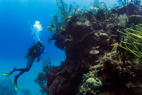
The national park also protects and includes more than two dozen scuba dive sites. Several of the country’s top wall sites are here, where the depth abruptly drops from about 50 feet (15 m) into the thousands.
The total area of Columbus Landfall National Park is 1,280 acres (518 hectares), and the national park has the NP3 identification code designation by the Turks and Caicos Government.
Columbus’ First Landfall in the New World
As the protected area’s name suggests, Christopher Columbus’ first landfall in the Americas may have been at Grand Turk.
Three islands in the Antilles are commonly thought to be the first point of landfall: Grand Turk, San Salvador (formerly Watlings Island), and Samana Cay in the Bahamas. The Atlantic North Equatorial Current and the logs of the historic voyage support the case for each possibility.
Much of the landfall theories are based on Columbus’ limited description of a very flat, bean-shaped island with very green trees and a central pond or lagoon. All of the candidate islands at least loosely match the record, not least of which Grand Turk—especially considering that before the development of the salt industry salinas, the inland ponds on the island likely supported dense mangrove forests with vibrant green leaves.
Columbus’ account shows that the indigenous Taíno people’s name for the island of his first landfall was Guanahani. Columbus referred to the island as San Salvador.
Fishing Zones
Three non-commercial recreational fishing zones are located within Columbus Landfall National Park.
Only recreational fishing from shore, piers, or jetties is permitted, using light tackle and line with a breaking weight of 30 pounds (13.6 kg) or less.
Detailed fishing zone information is limited, yet one area identified as a recreational shore fishing zone begins at about the midway point of Duke Street in Cockburn Town and continues north, including the coast off of Front Street, to the point where Pillory Beach begins.