South Point Salt Cay

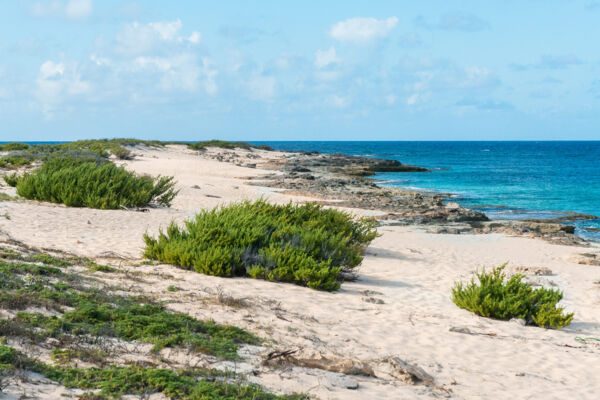
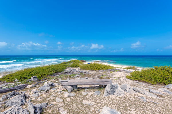
South Point, as the name suggests, is the extreme southern tip of Salt Cay. This very scenic beach and coastal area features some rather nice patches of sand, as well as rocky limestone ironshore coastline.
An interesting aspect of the area is the contrast between the east side of the point (South Bay), which is usually constantly buffeted by the eastern trade winds and waves, and the west side of the point, which is in the lee of the island and consequently calm and sheltered.
South Point is probably the best beach on Salt Cay for small seashell beachcombing. As the coast continues to the northeast, the flotsam beachcombing finds of fishing floats, interesting bottles, and driftwood increase.
In calm weather, South Point offers decent snorkeling and swimming. The small and beautiful patches of beach interspersed between the low cliffs on the western side of the point offer tranquil swimming conditions.
The vale of South Wells is also nearby and attracts Salt Cay’s semi-feral donkeys and cattle. Salt Cay is a very small island with extremely limited natural sources of fresh water. The water from shallow livestock wells here has quite high levels of salinity, which the donkeys can barely survive on.
Getting Here

To get to South Point, follow the main straight road (Victoria Street) along Town Salina from Deane's Dock south to its conclusion (about 2.2 miles, or 3.5 km). You will pass South District, the Salt Cay power station, and the island’s small dump. The track is a bit rough in this area, yet it does improve closer to South Point.
Small off-road golf carts are the common mode of transport on Salt Cay, and the tracks to South Point are adequate for the vehicles (if not a little rough in places).
A very scenic drive is to return on the eastern route from South Point, which leads past South Wells, South Bay, Pilchard Hole Salina, South Creek, and finally, back to South District.
