
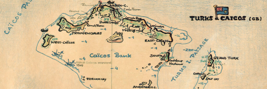
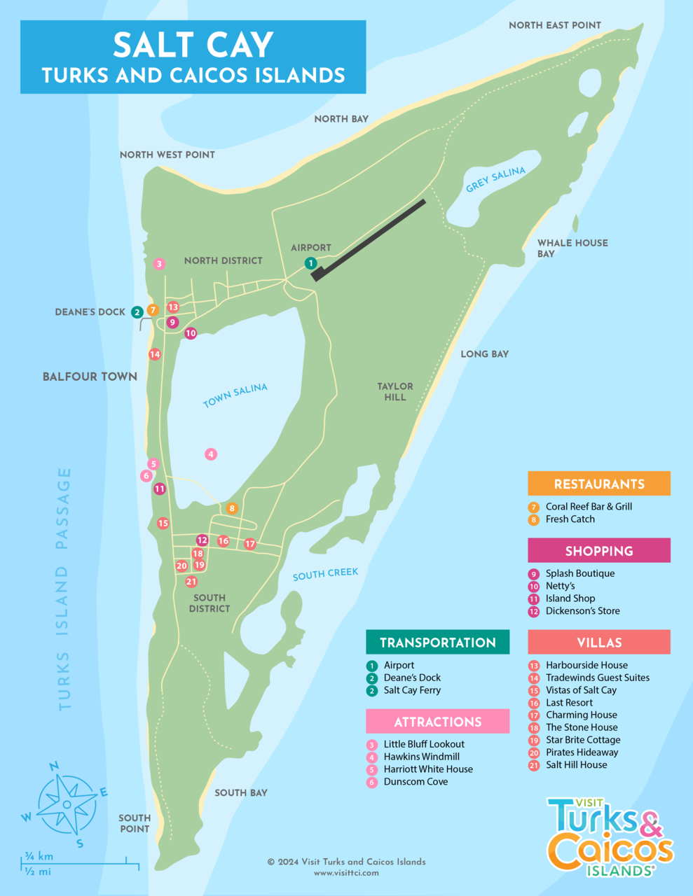
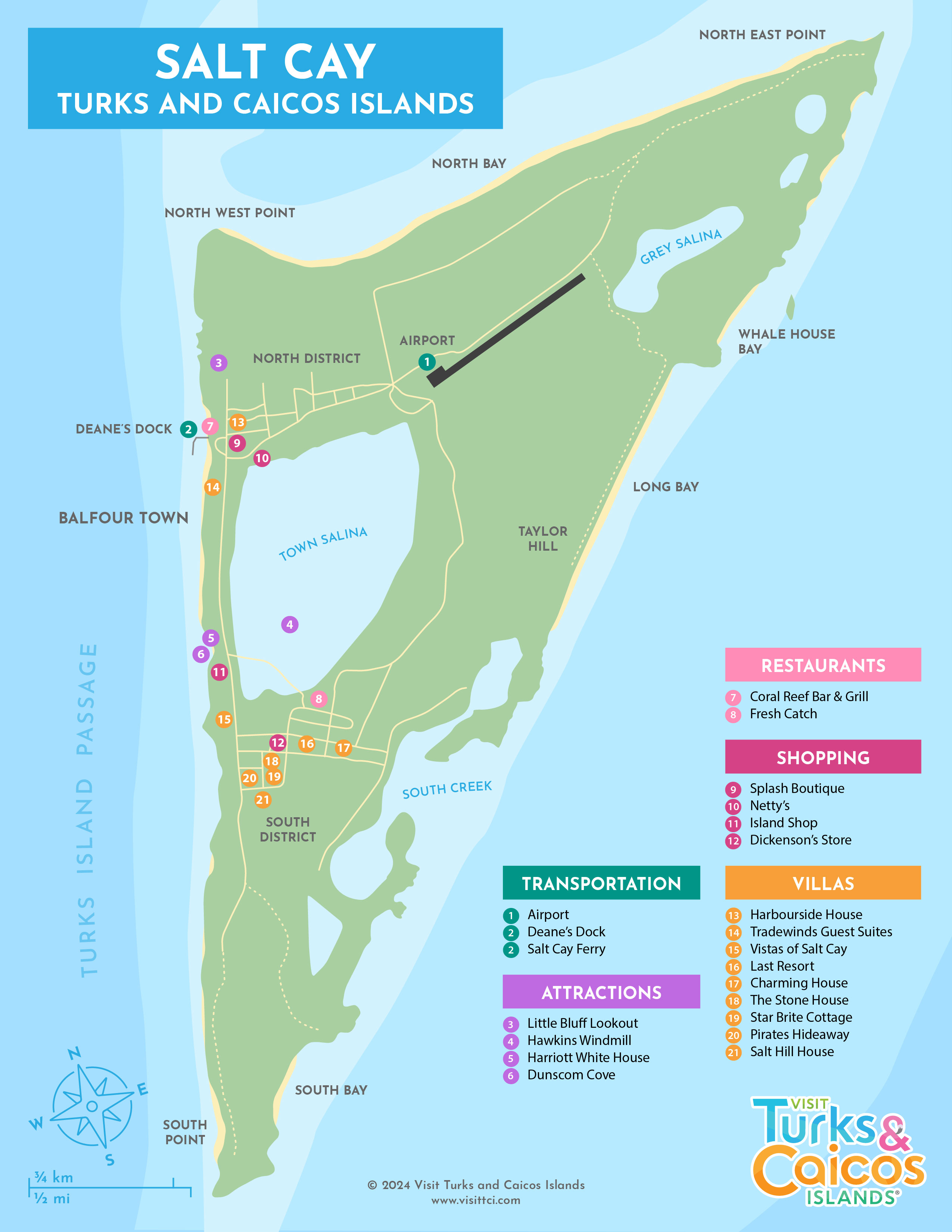
Maps of Salt Cay
Most visitors to Salt Cay don’t need a map, as the island is quite small. From Northeast Point to South Wells (the southern tip of the island) it’s only 4.3 miles (7 km).
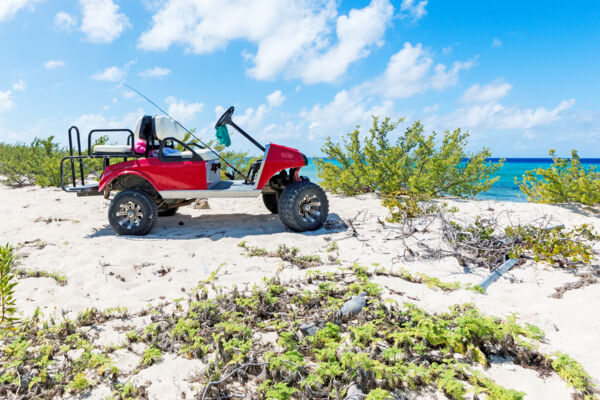
There are no surfaced roads on Salt Cay, and the primary methods of transportation are bicycles and off-road golf carts. Many villas provide a bicycle, and there are two businesses offering golf-cart rentals. It’s highly recommended that you consider one of these vehicles, as the sun is extremely intense and the shade provided by the cart’s canopy will be highly appreciated.
It's possible to walk the island on foot, but be advised that the sun is quite intense, and there is relatively limited shade (few large trees) away from the main town.
Airport and Ferry Port
Deane's Dock, the port for ferries from Grand Turk, and the Salt Cay Airport (SLX) are both located a short distance from the island’s main town of Balfour Town. Most villa hosts will greet you on arrival.
)