Crossing Place Trail
Middle Caicos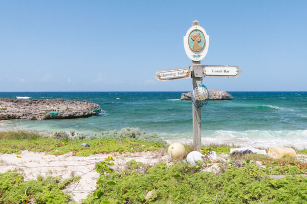
The Crossing Place Trail is a historical path that previously connected the communities on Middle Caicos and North Caicos. The trail offers spectacular views of the Mudjin Harbour and Norbellis Coves coastline, with many interesting features along the way.
History
Over the last few centuries, the Crossing Place Trail was the main link between Middle Caicos and North Caicos, and—by extension—the whole of the Caicos Islands.
The trail originally began at the village of Lorimers on the eastern end of Middle Caicos and wove west through the plantations and settlements of Middle Caicos, ending at a Crossing Place point. Here, at low tide, travelers were able to wade over to North Caicos.
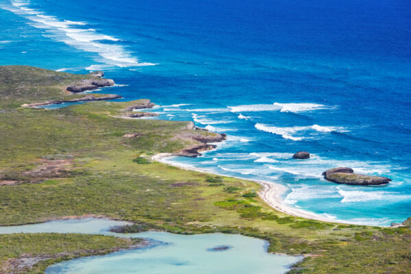
Over time, the trail fell into disuse and was overgrown by vegetation as the use of powerboats was introduced to the country over the last several decades. In the late 1990s, the Crossing Place Trail was refurbished by local volunteers and the Turks and Caicos National Trust. The paths were re-cleared and guide signs were added.
The current Crossing Place Trail only covers a small portion of the original path and deviates a little in places from the original.
Starting Points
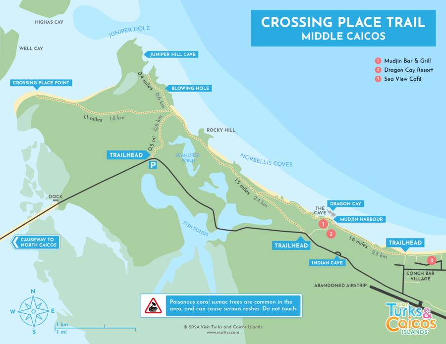
The main starting point for the modern trail begins at the coast near Conch Bar Village, but there are a few other trailheads: one starts off the paved road into Middle Caicos and another begins near the Dragon Cay overlook at Dragon Cay Resort.
The trail surface conditions vary a huge amount. Near Conch Bar, the trail tends to be packed dirt, but it gradually turns rocky and sandy further along. West of the Blowing Hole, the trail slowly disappears into the low vegetation. See the Crossing Place Trail map below.
Sights and Scenery
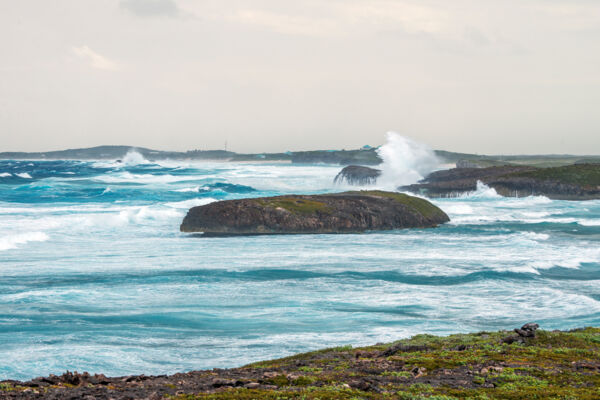
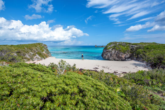
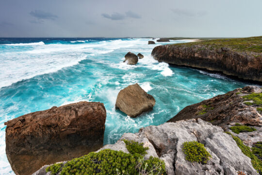
The whole length of the Crossing Place Trail covers the amazing limestone cliff scenery and interspersed beaches of Mudjin Harbour, with many interesting spots along the way.
Dragon Cay and the adjacent overlook is considered to be the center of Mudjin Harbour and the finest landscape in the Turks and Caicos. A large open-faced cave can be seen above the beach. Masonry footpaths put in by the adjacent Dragon Cay Resort make access easy.
Follow the Crossing Place Trail signs when hiking from Conch Bar Village. The Blowing Hole is a very small body of water connected to the ocean by a 75-foot-long (22 m) underwater cave.
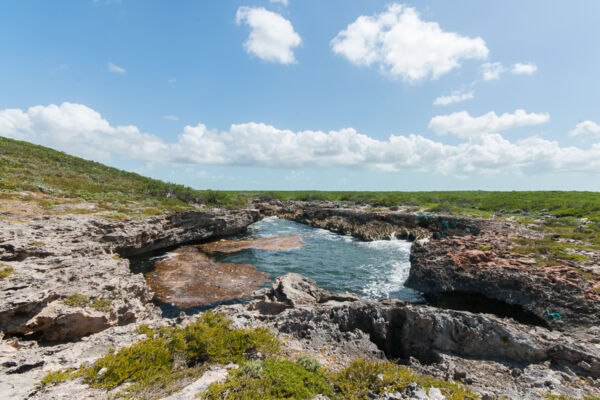
In the past, this formation was actually a sea cave with a hole in the roof. When a large wave would enter the cave, water would be blown high into the air. The roof of the cave has fallen in over time, but large amounts of flotsam collect here, and the spot is still quite interesting when the surf is up.
Juniper Hole
Found near the far western end of the Crossing Place Trail, Juniper Hole is a large open-faced sea cave. There are several holes in the roof of the cave, but it’s not possible to enter the cave. Be extremely cautious around the cliffs above the cave.
Dangers and Hazards
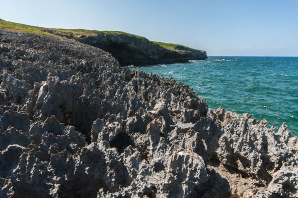
Cliffs, hidden holes, and sharp rocks are the greatest dangers to hikers on the Crossing Place Trail. It’s advisable to wear shoes or boots and to stay on the trail. Note that parts of the trail can be overgrown at times.
Coral sumac, also known as poisonwood, is a toxic tree found in many places along the Crossing Place Trail. Even lightly touching this plant can cause rashes, and any contact with the sap of this tree will result in serious blisters and skin issues. This tree is most common in the inland sections of the trail, but can be found anywhere. The majority of coral sumac trees in the Crossing Place Trail area are less than 10 feet (3 m) tall, but can be 30 feet (9 m) in sheltered areas.
Dehydration and sunburn are another concern. There is little shade along the Crossing Place Trail and conditions are usually very hot, as is typical for the Turks and Caicos. Bring plenty of water and sunscreen.
Mosquitoes can be quite bad at times in the inland swampy sections, so don’t forget insect repellent. Generally, the main sections of the trail along the coast are fine, as the breeze keeps the mosquitoes away.
Guided Tours
Several businesses offer guided hikes and bike rides over the Crossing Place Trail. One of these excursions can be a great way to get some extra insight into the natural and cultural history of Middle Caicos and the country.
On their North Caicos and Middle Caicos adventures, many tour companies combine stops at several of the top attractions across the two islands, including Wade’s Green Plantation, Mudjin Harbour, Cottage Pond, Bambarra Beach, Conch Bar Caves, and Indian Cave.
